Mitheithel
(Redirected from Hoardale River)
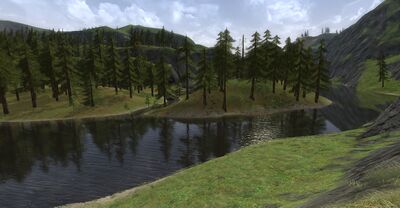
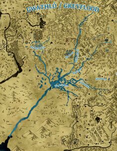
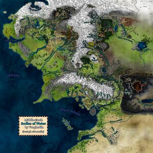
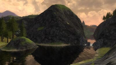
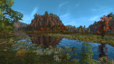
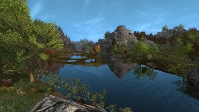
The Mitheithel, known as the Hoarwell in the tongue of Man, is a river that arises in the Misty Mountains, flows through the Ettenmoors, and forms the border between the Lone-lands and the Trollshaws. Here, it is crossed by the Last Bridge. Further south, it joins with the Bruinen (Loudwater) river at the tip of the Angle of Mitheithel. Widening up with the joining of the two rivers, the Mitheithel then forms the border between Cardolan and Swanfleet. At the edge of the Wadewater, the Mitheithel joins with the Glanduin river, forming the Gwathló, or Greyflood river and swelling further into one of the greatest rivers of Eriador.
Maps
Gallery
-
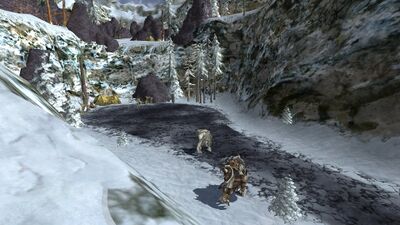
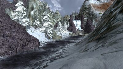
The source of the Mitheithel is the Misty Mountains where it surfaces in Arador's End just west of Grothum. The water's surface is frozen solid at this point.
-
The Hoarwell's path then continues in a southwesterly direction toward the Isendeep Outpost.
-
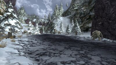
The Isendeep Outpost crosses the Mitheithel near to where the last piece of frost has the water in its grip.
-
Past the outpost, the river water starts to run free of ice, flowing now across sand and rocks rather than snow.
-
The Hoarwell splits into two flows, each circling the fort of Tol Ascarnen, and meeting up again on the far side.
-
Bridges on either side of the fort cross the river, allowing access to both Free People and servants of the Enemy.
-
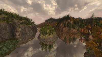
Again splitting into two flows, the river then circles the hobbit town of Hoarhallow.
-
The hobbits here see frequent attacks by servants of Sauron, and must be ready to defend themselves at all times.
-
The Hoarwell continues south of the the Ettenmoors, leaving its constant battles behind.
-
The river emerges from the Ettenmoors into the Lone-lands and Trollshaws, forming the border between the two regions.
-
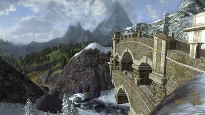
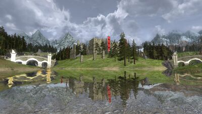
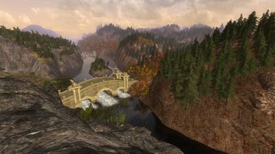
The Last Bridge crosses the Mitheithel, connecting the two regions to each other. Like its name indicates, it is the last bridge to do so. From this point, the river flows free of built structures.
-
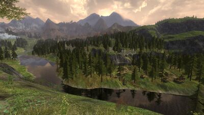
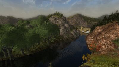
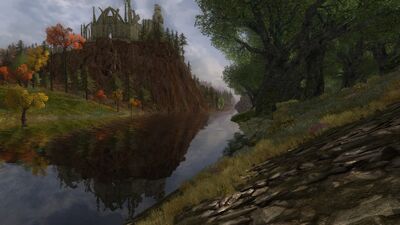
South of the bridge, the river separates the heavily wooded Harloeg from the cliffs of the Angle of Mitheithel, an area taking its name from the river.
-
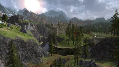
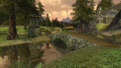
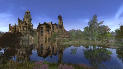
The Hoarwell passes Eitheldir on a hill above it, an overgrown ruin long since abandoned.
-
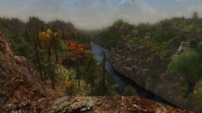
The landscape in the southern part of the river holds ruins on both sides of the river, several of which have lost even their names to time.
-
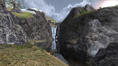
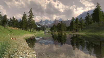
Several tributaries join the Mitheithel as it passes southwards, swelling its flow.
-
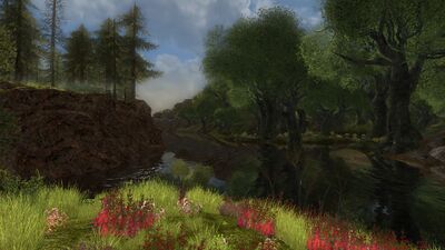
Past Harloeg, the river's right bank follows Cardolan, the river separating the Angle of Mitheithel from South Downs.
-
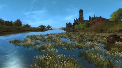
Another ruin crowns the landscape as the Angle closes in on itself - the crumbled stones of Thelgarth.
-
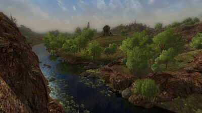
Separating Western Eregion from Sedgemead, the last stretch of the river widens considerably.
-
The landscape flattens out, and just before it changes its name, the Hoarwell swells to its widest.
