Usâl

The Usâl is a river in Haradwaith. It used to form the southern border of the green and fertile plain of Sûgedin, a natural border between the lands of Shagâna and those of the Empire of Ordâkh. Two hundred years ago, the Ordâkhai Emperor Shurash Hûl used the Din of Stone, causing a terrible drought. Famine then fell upon the green fields of Sûgedin, where once thrived the Abundant Kingdom of Nísaka. The River Usâl ran dry, leaving only the arid and cracked channel that was once the river-bed. Desert claimed the Khûd, and the fertile land on either side of the Usâl became the Lâkhedin, the Witherlands. This distressing process came to be called the Great Dearth, and the lands through which the Usâl flowed never recovered. They will never be green again.
The drying of the river Usâl removed the last barrier between Shagâna and the Great Southern Empire of Ordâkh. The armies of the Ordâkhai marched north into Shagâna and brought formerly separate kingdoms under the control of the Hûl of Ordâkh, and the Dark Lord he served. Most learned men believe the Great Dearth was not caused by nature, but was the result of dark sorcery given to them by Barkhûsh. Ever was the Dark Lord seeking to remove the barriers between the lands under his control and those he sought.
Maps
-
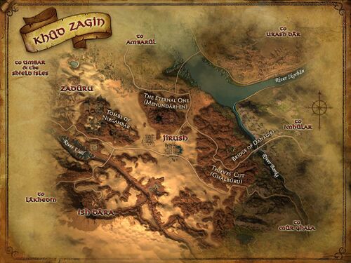 The remnants of Usâl are still visible in Khûd Zagin
 -
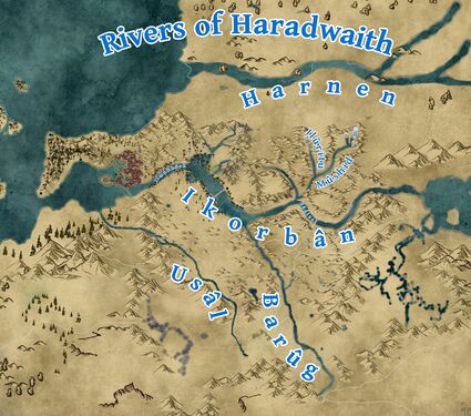 Rivers of Haradwaith
 -
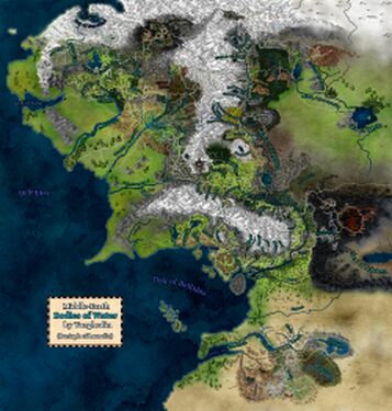 Bodies of Water


Gallery
-
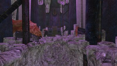 The upper reaches of the Usâl once flowed out from under the foreboding structure of Damudûr.
 -
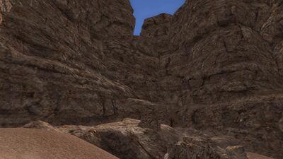
 From there, it flowed northwest through the chasm below Kôth Rau.
 -
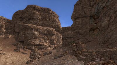
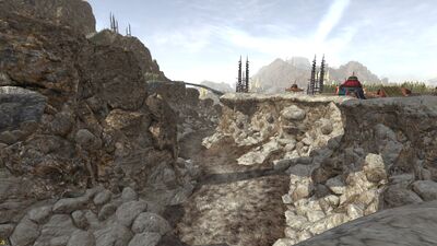 In short order, three wood bridges span the dry river bed.
 -
 The dessicated riverbed then flows out onto the open hills of An Shêru.
 -
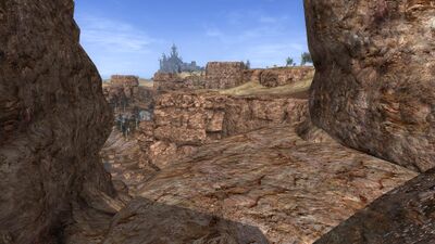
 After the river's disappearance, the Great Road has been built across the plateau, freee of any water to cross.
 -
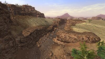
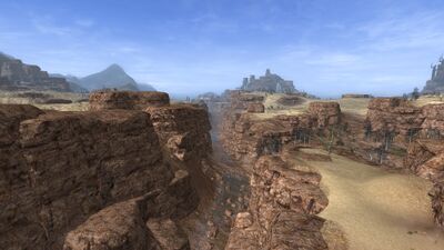
 The riverbed's banks can still be seen looming over the landscape below.
 -
 The first glimpse of actual water remaining can be seen at the Seething-wells.
 -
 Here, salamanders bask in the warm water, laying their eggs in nests.
 -
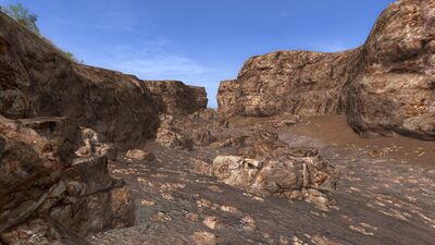
 Beyond, the river curves west again, heading downhill in a rocky chasm.
 -
 The chasm deepens, and the river no doubt once formed rapids as it descended steeply down the hill.
 -
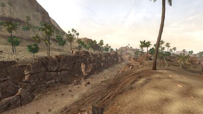
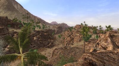
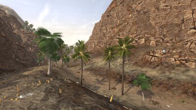 In the shaded valley between the regions, enough ground water remains to sustain a stretch of palm trees.
 -
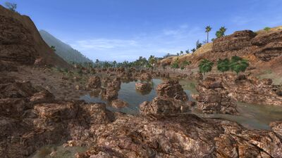
 The Usâl enters Khûd Zagin, and desert sands start to line its former banks.
 -
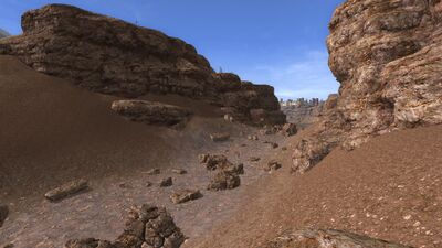
 Rocky formations of red stone dominate this part of the riverbed.
 -
 The Usâl continues through the desert landscape of the Imênki Waste.
 -
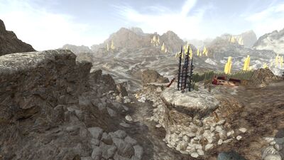
 The Usâl drops over a dry ledge, which once was a waterfall.
 -
 The middle portion of the Usal's riverbed is also completely dry.
 -
 The Usâl would have plummeted into a magnificent waterfall here hundreds of years ago, but now there is only a high cliff overlooking its lower course left.
 -
-
 The former waterfall mid-river is now a bare cliff.
 -
![The drying of the river led to the death of the Kintai grove at Er-atûr], which now is haunted by anguished elf-spirits.](/images/thumb/0/00/Us%C3%A2l_Er-at%C3%BBr.jpg/400px-Us%C3%A2l_Er-at%C3%BBr.jpg)
-
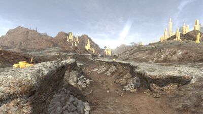
 Rocks which used to lay submerged now lie scattered on the dry riverbed.
 -
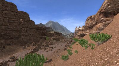 Further northwest, a small semblance of life is visible as cacti are able to gather what little moisture remains from the ground.
 -
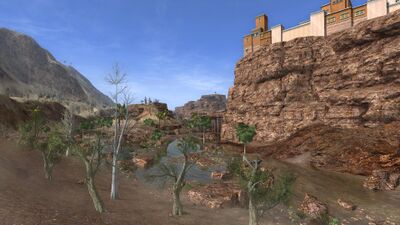 As the river passes beneath the shadow of Nizukhûr, larger remnant pools of water provide enough sustenance for some trees, shrubsm and palms.
 -
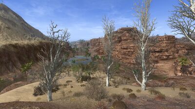 A former island in the middle of the river is now a lone rise with a view to the west.
 -
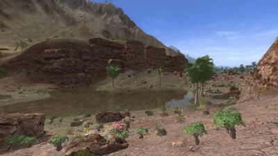 The closer the riverbed is to the coast, the more moisture it retains. In the western Khûd, there are even flowers.
 -
 The outer reaches of the Usâl riverbed are blocked off by rubble, but it stretches across the southern parts of Umbar before meeting the ocean.


![The drying of the river led to the death of the Kintai grove at Er-atûr], which now is haunted by anguished elf-spirits.](/wiki/File:Us%C3%A2l_Er-at%C3%BBr.jpg)


