File:The Shire Yondershire map.jpg
Jump to navigation
Jump to search

Size of this preview: 800 × 585 pixels. Other resolution: 1,530 × 1,119 pixels.
Original file (1,530 × 1,119 pixels, file size: 1.68 MB, MIME type: image/jpeg)
File history
Click on a date/time to view the file as it appeared at that time.
| Date/Time | Thumbnail | Dimensions | User | Comment | |
|---|---|---|---|---|---|
| current | 18:18, 29 October 2022 | | 1,530 × 1,119 (1.68 MB) | Varghedin (talk | contribs) | Updated map with Buckland and Northfarthing added |
| 21:22, 21 April 2022 | 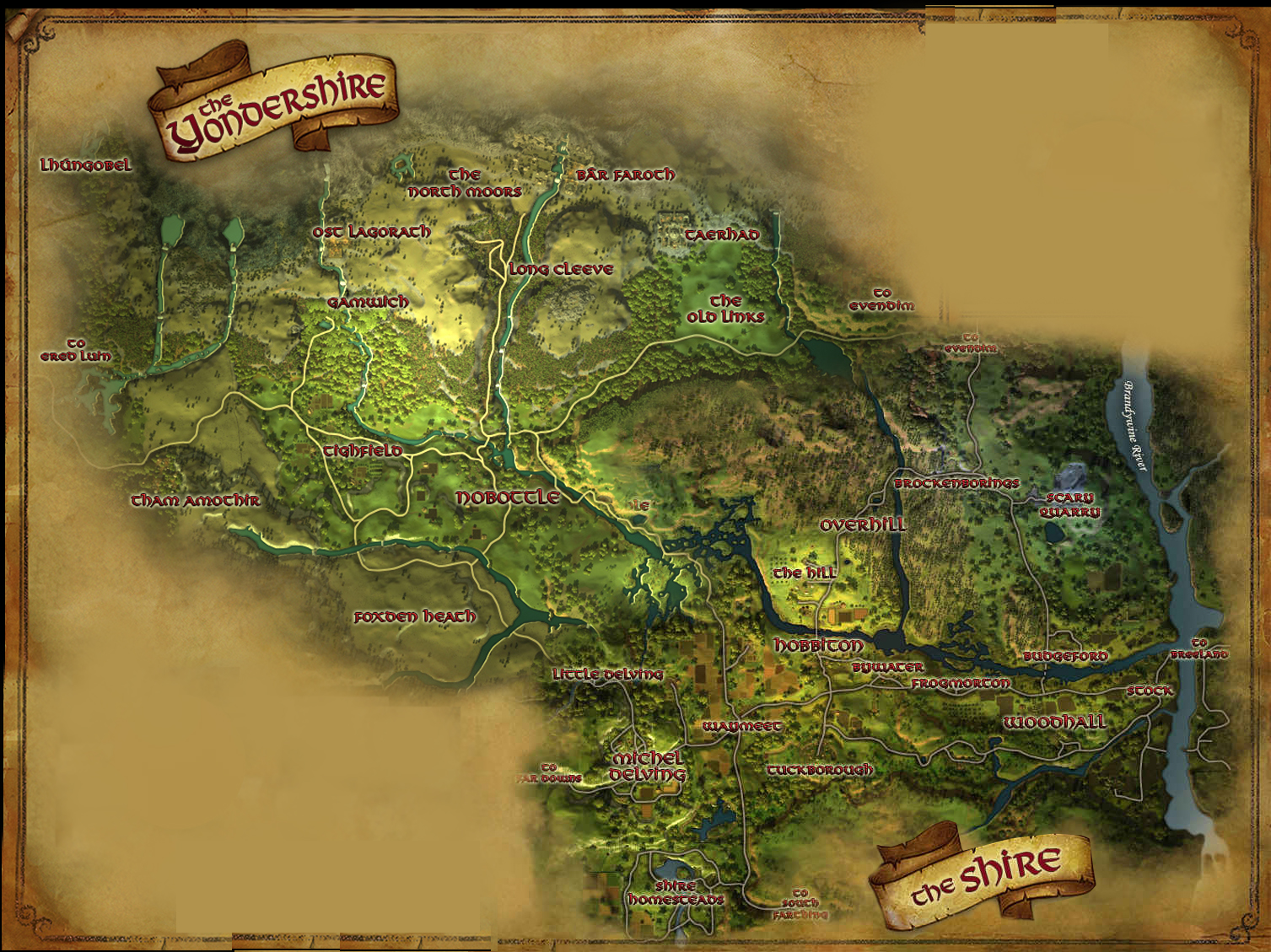 | 1,507 × 1,129 (1.52 MB) | Varghedin (talk | contribs) |
You cannot overwrite this file.
File usage
The following 2 pages use this file: