File:The Understaddle Map.jpg
Jump to navigation
Jump to search
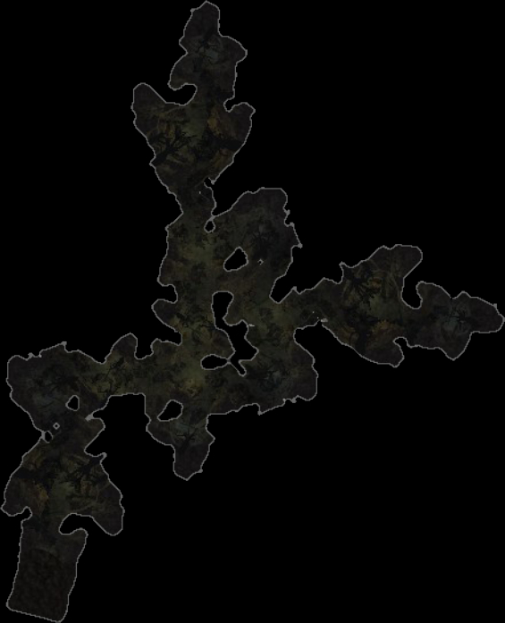
Size of this preview: 486 × 600 pixels. Other resolution: 565 × 697 pixels.
Original file (565 × 697 pixels, file size: 103 KB, MIME type: image/jpeg)
Summary
File history
Click on a date/time to view the file as it appeared at that time.
| Date/Time | Thumbnail | Dimensions | User | Comment | |
|---|---|---|---|---|---|
| current | 11:08, 15 August 2025 | | 565 × 697 (103 KB) | Tiberivs (talk | contribs) | Category:Bree-land Maps |
You cannot overwrite this file.
File usage
The following page uses this file: