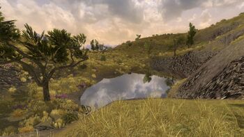
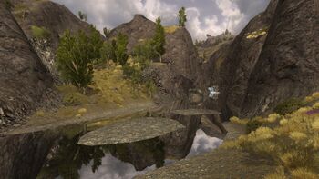
The Weather Hills
| Region: | The Lone-lands |
| Landmark(s): | Bleakrift Candaith's Encampment Echad Sûl Glumhallow Gondrinn Ost Alagos Weatherfoot Weathertop Weatherway |
| Connecting Area(s): |
The Lone-lands: Annunlos Nain Enidh Bree-land: Chetwood Far Chetwood The Midgewater Marshes Nen Harn |
| Levels: | Mainly 22 - 23, 55 |
| Resource tier: | Journeyman |
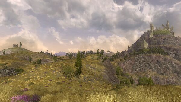
The Weather Hills is an area that spans over the east of Bree-land as well as the north-west of the Lone-lands.
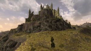
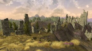
This is a vast and dangerous area of hilltops mainly to the north-west of, and including, Weathertop. The Weather Hills are inhabited by creatures such as boars, crebain, wargs, and wolves, but also evil goblin and orcs; adventurers never really know what hazard will show up behind the next rock. Numerous ruins mark the former presence and realms of elves and men, and these are well worth a visit. (It should be noted that the Bree-land part is named "Weather Hills" and the Lone-lands part is named "The Weather Hills", the latter having the more activities.)
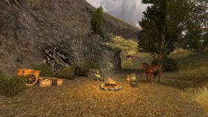
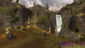
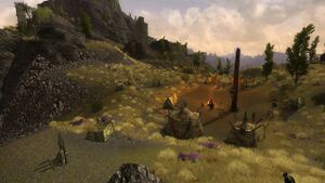
The most notable location of the Weather Hills is Weathertop, no other peak in any nearby area matches its height. Any traveller is affected and moved by its fashion and power, yet it is ruined. Recently, several curious events have taken place at Weathertop and within the Weather Hills. A Ranger named Candaith has set up a safe camp with a Camp Site Fire and a swift horse; he is helping adventurers on epic quests and faithfully defends Amon Sûl against the hoards of the Enemy.
Landmarks
These landmarks are located within The Weather Hills:
Camp
- Candaith's Encampment - Small camp
Instances
- [25+] Stand at Amon Sûl - skirmish accessed thru the Instance Finder
NPCs
Bree-land
The Lone-lands
Quests
See "starting quests" and the landmarks for more quests
Starting
- [22] Meat for Eating
- [22] Pelts for Trade
- [22] Get Our Weapons Back
- [22] Do You Know...Candaith?
- [22] Word to Anlaf
- [55] Not What He Appeared
- [55] Furled Banners of the White Hand
- [55] Orcs and Half-orcs in the North-east
The Lone-lands
- [22] A Deal Gone Sour
- [22] A Polished Pendant
Involving
- [23] Goblin Pack-master
Mobs
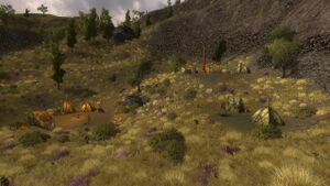
The following creatures are found within this area:
Bree-land
- Chetwood Hunter
- Chetwood Stalker
- Half-orc Robber
- Half-orc Outlaw
- Howling Yellowfang
- Lurking Yellowfang
- Pecking Craban
- White Hand Sentinel
The Lone-lands
- Chittering Rock-claw
- Ironhide
- Long-tusk Scrubrunner
- Lûz
- Maddened Shattertusk
- Sawtooth
- Sharp-eye Lookout
- Sharp-eye Scout
- Silent Yellowfang
- Thorn-talon Sentry
- Thorn-talon Scout
- Vicious Shattertusk
- Warg Bone-chewer
- White Hand Archer
- White Hand Grunt
- White Hand Guard
- White Hand Pillager
- White Hand Spear-thrower
- Coney
- Lone-lands Fox
- Silver-neck Buck
- Striped Squirrel
Maps
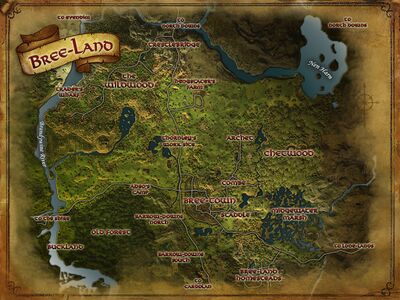 Topographic map of Bree-land
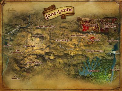 Topographic map of the Lone-lands
Lore
- The name among Men for the north-south range of hills that lay in central Eriador, and in ancient times marked part of the border between the lands of Arthedain and Rhudaur. Weathertop, or Amon Sûl, lay at the southern end of the range.
- The most notable location is Weathertop, which is mentioned in Tolkien's works and dates back to before II 3320. While this area is dotted with ruins, none of them may be safely dated further back than early c. III 1300 when Argeleb I, the seventh king of Dúnedain, fortified this area in an attempt to return Arnor to its former glory.
- While the Weather Hills are not mentioned by name in Tolkien's works, they are referred to and described, usually in connection with Weathertop. It was through these hills that Strider brought Frodo and his companions during their escape from Bree, when Gandalf chose the quicker Great East Road, and they ran past each other. Now Candaith watches over the ancient relics as a valiant Ranger of the North who hallows this formerly glorious tower.
Gallery
| Settlements, Areas and Landmarks of the Lone-lands
| ||
|---|---|---|
| Areas: | Agamaur • Annunlos • Garth Agarwen • Haragmar • Harloeg • Minas Eriol • Nain Enidh • Talath Gaun • The Weather Hills | |
| Settlements: | The Forsaken Inn • Ost Guruth | |
| Landmarks: | Amon Ros • Barad Iachiant • Bleakrift • Candaith's Encampment • The Circle of Blood • Dol Vaeg • Echad Sûl • Eglain Camp • Garth Agarwen Gate • Glumhallow • Gondrinn • Ivar's Crypt • The Last Bridge • The Lornspan • Mitheithel • Mithrenost • Naerost • Nan Dhelu • Nindor • Ost Cyrn • Ost Haer • Ost Laden • The Outer Gates • Skirmish Camp • Spring of the Red Maid • Thandobel • Tornstones • Weatherfoot • Weathertop | |
| Interiors: | Barad Dhorn • The Forsaken Inn • The Lore-tower | |
| Dungeons: | Iorvinas | |
| Instances: | Garth Agarwen: Arboretum • Barrows • Fortress / Other: Stand at Amon Sûl • Inn of the Forsaken | |
