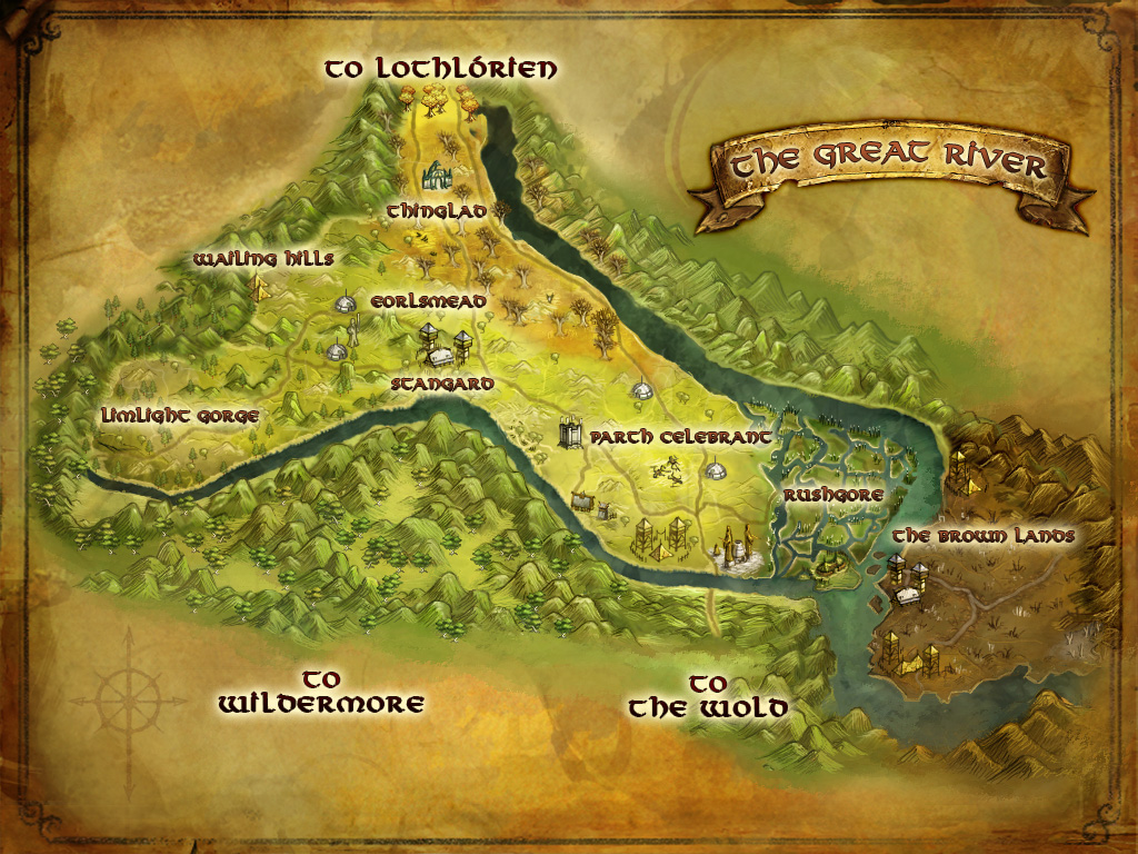
File:Great River map.jpg
Jump to navigation
Jump to search
Size of this preview: 800 × 600 pixels. Other resolution: 1,024 × 768 pixels.
Original file (1,024 × 768 pixels, file size: 442 KB, MIME type: image/jpeg)
This image must be named "File:Great River map.jpg" (exact spelling, punctuation, case, no 'The') so that the Tooltip Coords template and related javascript will find the map image.
The first revision of this image was provided by Turbine [Map of the Great River] and was uploaded 2012-02-29.
File history
Click on a date/time to view the file as it appeared at that time.
| Date/Time | Thumbnail | Dimensions | User | Comment | |
|---|---|---|---|---|---|
| current | 21:44, 22 March 2023 | | 1,024 × 768 (442 KB) | Dadwhereismom (talk | contribs) | |
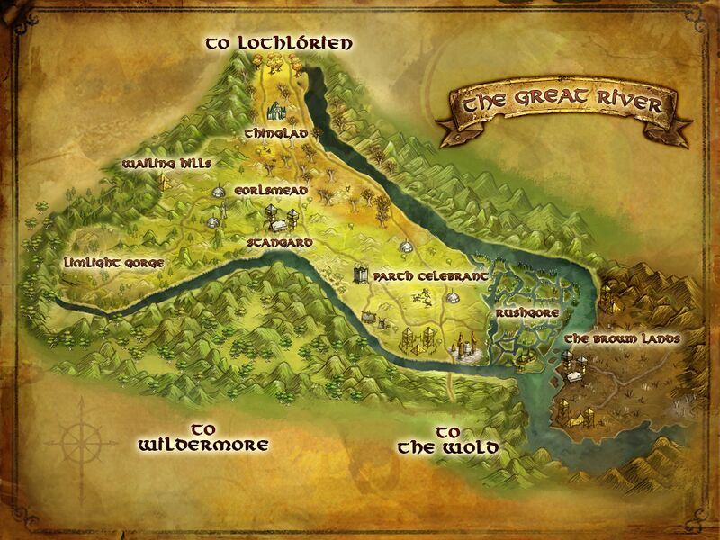
| 12:57, 13 January 2014 |  | 1,024 × 768 (340 KB) | Neum (talk | contribs) | ||
| 12:20, 23 March 2012 | 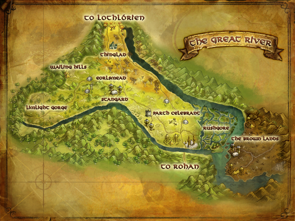 | 1,024 × 768 (881 KB) | EoD (talk | contribs) | better quality | |
| 18:58, 12 March 2012 | 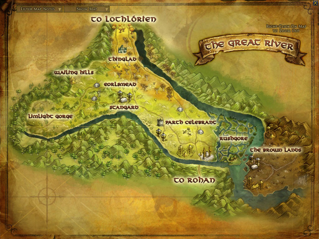 | 1,024 × 768 (222 KB) | Neum (talk | contribs) | Update 6 version | |
| 11:05, 1 March 2012 |  | 1,024 × 768 (456 KB) | RingTailCat (talk | contribs) | Category:Maps |
You cannot overwrite this file.
File usage
The following 13 pages use this file: