File:Forochel topographic map.png
Jump to navigation
Jump to search
Size of this preview: 800 × 600 pixels. Other resolution: 1,920 × 1,440 pixels.
Original file (1,920 × 1,440 pixels, file size: 4.64 MB, MIME type: image/png)
Summary
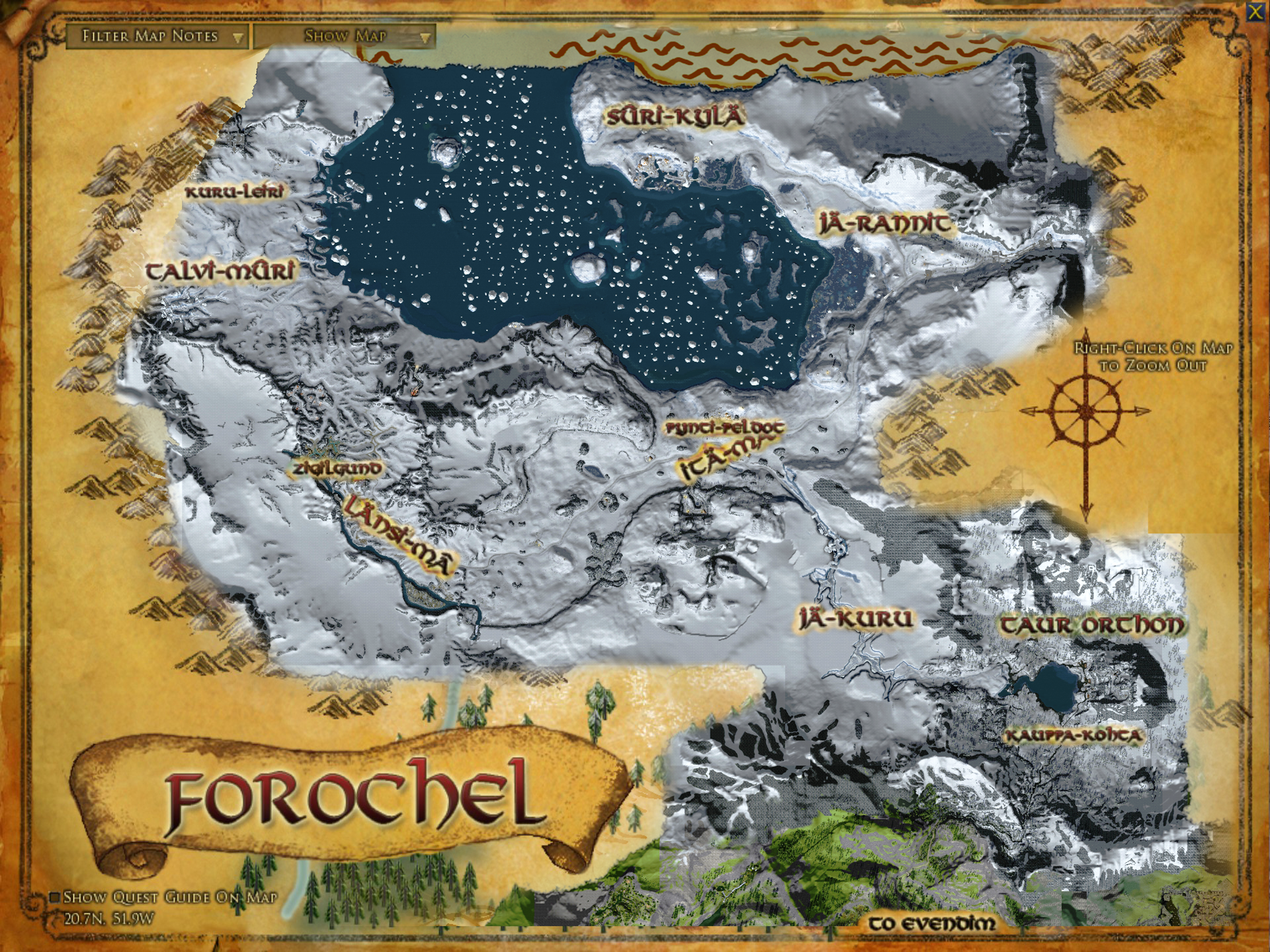
I made a topographic map based on the in-game region map and the beautiful terrain from https://lotromap.net.
File history
Click on a date/time to view the file as it appeared at that time.
| Date/Time | Thumbnail | Dimensions | User | Comment | |
|---|---|---|---|---|---|
| current | 06:54, 22 May 2019 | | 1,920 × 1,440 (4.64 MB) | Varghedin (talk | contribs) | Lightened, fixed a graphic glitch |
| 13:11, 20 May 2019 | 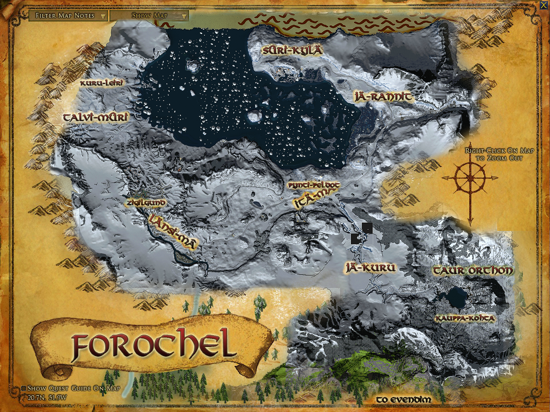 | 1,920 × 1,440 (6.23 MB) | Varghedin (talk | contribs) | I made a topographic map based on the in-game region map and the beautiful terrain from http://lotromap.net. |
You cannot overwrite this file.
File usage
The following 7 pages use this file: