File:Bree-land map by Varghedin.jpg
Jump to navigation
Jump to search
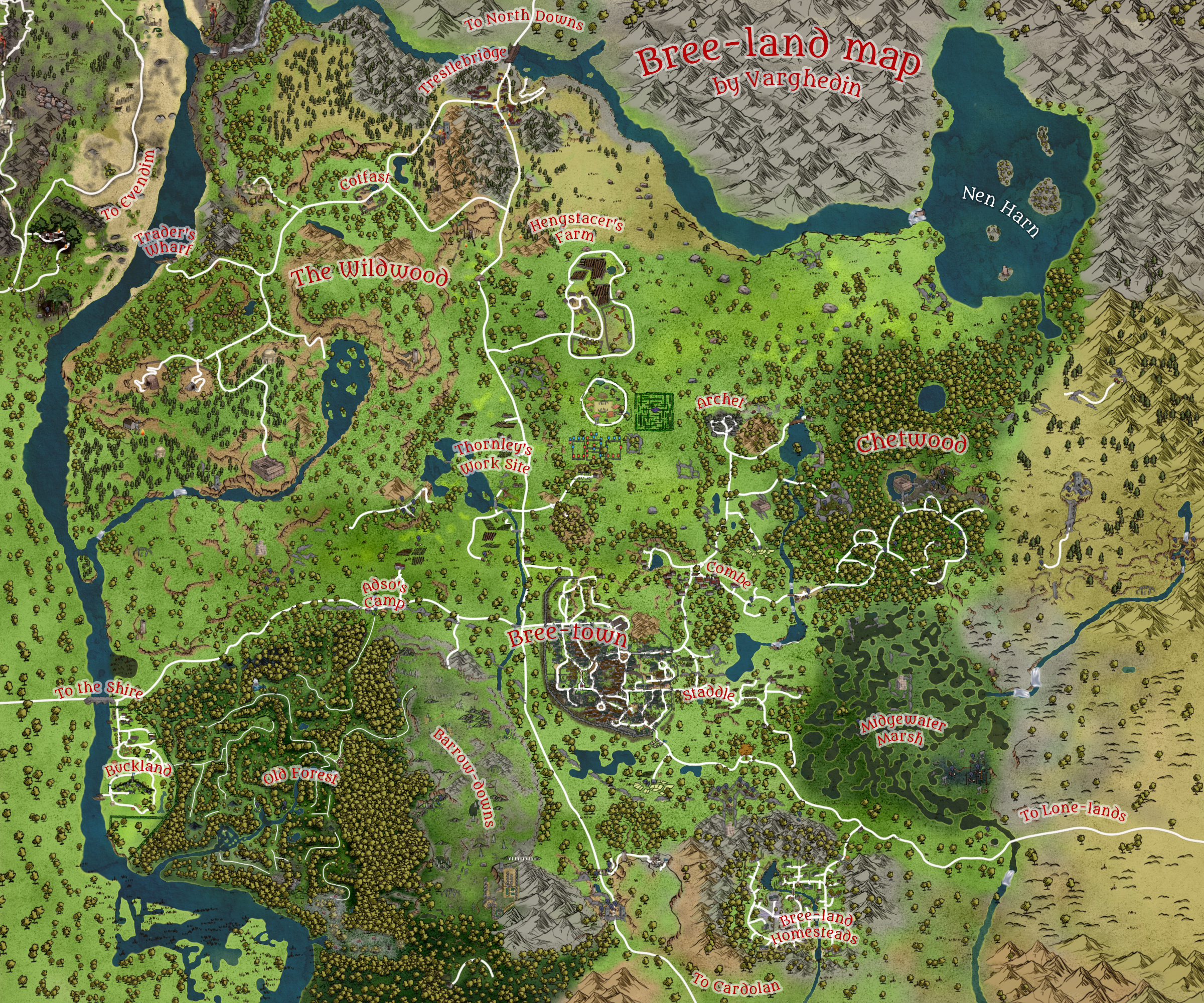
Size of this preview: 720 × 600 pixels. Other resolution: 2,400 × 2,000 pixels.
Original file (2,400 × 2,000 pixels, file size: 7.81 MB, MIME type: image/jpeg)
File history
Click on a date/time to view the file as it appeared at that time.
| Date/Time | Thumbnail | Dimensions | User | Comment | |
|---|---|---|---|---|---|
| current | 12:42, 24 November 2022 | | 2,400 × 2,000 (7.81 MB) | Varghedin (talk | contribs) |
You cannot overwrite this file.
File usage
The following 23 pages use this file:
- Andrath
- Archet Dale
- Brandy Hills
- Bree
- Bree-land
- Chetwood
- Combe
- Eastern Bree-fields
- Far Chetwood
- Hengstacer Farm
- Nen Harn
- Northern Barrow-downs
- Northern Bree-fields
- Old Forest
- Southern Barrow-downs
- Southern Bree-fields
- Staddle
- Starmere Lake
- The Brandywood
- The Horsefields
- The Midgewater Marshes
- The Weather Hills
- User:Varghedin