File:Kingstead map.jpg
Jump to navigation
Jump to search

Size of this preview: 800 × 600 pixels. Other resolution: 1,024 × 768 pixels.
Original file (1,024 × 768 pixels, file size: 558 KB, MIME type: image/jpeg)
Beta 6 version - 7 November 2013
File history
Click on a date/time to view the file as it appeared at that time.
| Date/Time | Thumbnail | Dimensions | User | Comment | |
|---|---|---|---|---|---|
| current | 21:47, 22 March 2023 | | 1,024 × 768 (558 KB) | Dadwhereismom (talk | contribs) | |
| 19:10, 3 May 2020 |  | 1,024 × 768 (572 KB) | Dadwhereismom (talk | contribs) | Updated with Kingstead Meadows Homesteads | |
| 21:44, 13 June 2014 |  | 1,024 × 768 (229 KB) | Tharondir (talk | contribs) | Update 14 version | |
| 13:30, 13 January 2014 |  | 1,024 × 768 (287 KB) | Neum (talk | contribs) | ||
| 05:09, 8 November 2013 | 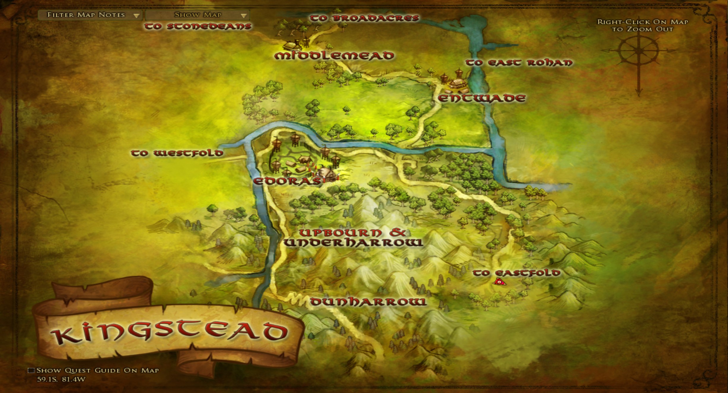 | 2,453 × 1,323 (590 KB) | Magill (talk | contribs) | Beta 6 version - 7 November 2013 Category: West Rohan Maps |
You cannot overwrite this file.
File usage
The following 4 pages use this file: